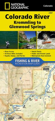
Waterproof, Tear-Resistant Fishing & River Map. The Colorado River, Kremmling to Glenwood Springs Fishing & River Map Guide is designed to be the perfect companion for anyone recreating on this section of the mighty Colorado river. Travelling about 94 miles and dropping just shy of 1,500 feet in elevation, the section of the Upper Colorado River represented in this map - from Kremmling to Glenwood Springs - winds through diverse landscapes. The river passes through Gore Canyon, Radium State Wildlife Area, and Glenwood Canyon, supporting a variety of ecosystems as it morphs into a powerful and mighty waterway known for prolific insect life, quality-size brown and rainbow trout and mountain whitefish (with the occasional native cutthroat), wildlife viewing opportunities, and superb cultural and historical features. The Colorado River in this sections starts with the class V+ rapids just downstream of Kremmling in Gore Canyon. After existing Gore Canyon the river flows past State Bridge and Dotsero before entering Glenwood Canyon where the river once again generates impressive rapids with names like 'Upper Death'. Each section of the Colorado River is unique with a different combination of access, river flow, and recreational opportunities. Each Fishing & River Map Guide includes detailed river maps at a scale of 1 inch to 1/2 mile. At this scale every turn in the river and rapid is clearly shown and labeled. Each page is centered on the river and overlaps with the adjacent pages so finding any location along the river is easy. The maps include rapids, river miles, access points, private and public lands, gaging stations, recreation sites, and more. Also included are stream flow charts, hatch charts, and a table of river access points. More convenient and easier to use than folded maps, but just as compact and lightweight, National Geographic's Fishing & River Map Guide booklets are printed on 'Backcountry Tough' waterproof, tear-resistant paper with stainless steel staples. A full UTM grid is printed on the map to aid with GPS navigation.