
Toggle Nav

Tel: +44 (0) 20 8829 3000

Email: customercare@turnaround-uk.com

We are aware that title stock statuses may be inaccurate on our website, and some titles may not be not showing at all.

Please contact our customer services department to confirm the correct status. customercare@turnaround-uk.com

Our apologies, we are working to fix this issue and hope to have it resolved very soon.

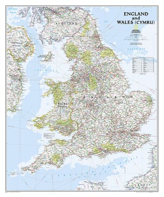
England and Wales Classic, laminated

England and Wales Classic, laminated

Wall Maps Countries & Regions

ISBN-13: 9781597754880

Author(s): National Geographic Maps

Subjects: Maps, Atlases and Globes, RGXB

Publisher: National Geographic Maps Division

Publisher Imprint: National Geographic Maps Division

Publication Date: 02-08-2012

Format: Sheet map

Availability: Temporary unavailable

£22.99

About the book

This classic-style map of England and Wales shows political boundaries, major highways and roads, cities and towns, airports and other geographic details. Thousands of place-names and exact borders are carefully researched by National Geographic s map researchers and editors ensuring the utmost accuracy. Scale: 1:868,000. Laminated. 91.4 x 76.2 cm.